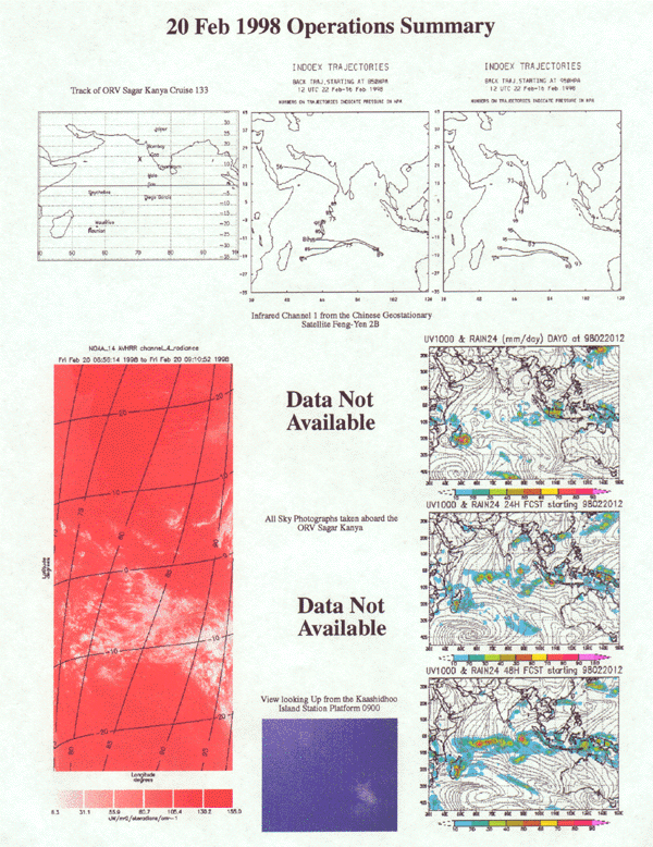
Feb. 20,1998 Day No. 51 Ship Location: 11o07'N, 71o38'E
Sagar Kanya has now cleared the EEZ of India and is on its way to Malť. NOAA-AVHRR image indicates long linear NW-SE or NE-SW oriented cloud features in the region between 10 N and equator. FY-2 images are not available. Kaashidhoo cloud pictures show scattered clouds. Boundary layer flow near Kaashidhoo is indicated to be from north. According to the FSU model analyses, the convective activity east of Madagaskar has now intensifieda.