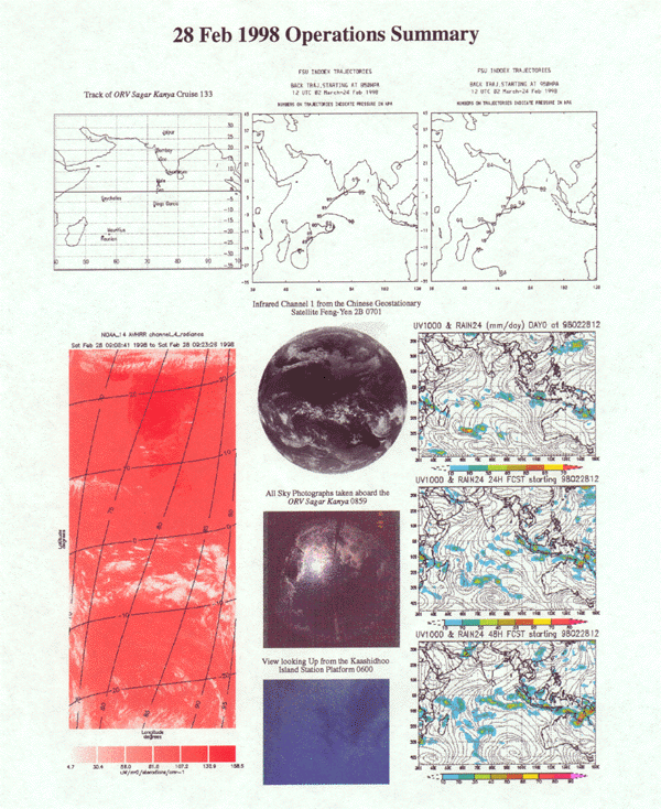

Feb. 28,1998 Day No. 59 Ship Location: 04o58'N, 73o24'E
The cloud images from FY-2 and NOAA-AVHRR show that, except for a narrow E-W band of cloudiness near 08N, most of the ITCZ was concentrated in the region south of equator. The entire region of Arabian Sea and the Bay of Bengal was cloud free. Both the cloud photograph from Kaashidhoo and the All-Sky camera photograph from the ship show clouds associated with this cloud band. The western disturbance over northern regions of Indian landmass has further intensified and moved southwards. Peninsular India is also under some scattered cloudiness. FSU model analyses show the boundary layer flow near Kaashidhoo to be northeasterly. Centers of convective activity are indicated at locations (70E, 10S), (90E, 07S) and (60-70E, 27S).